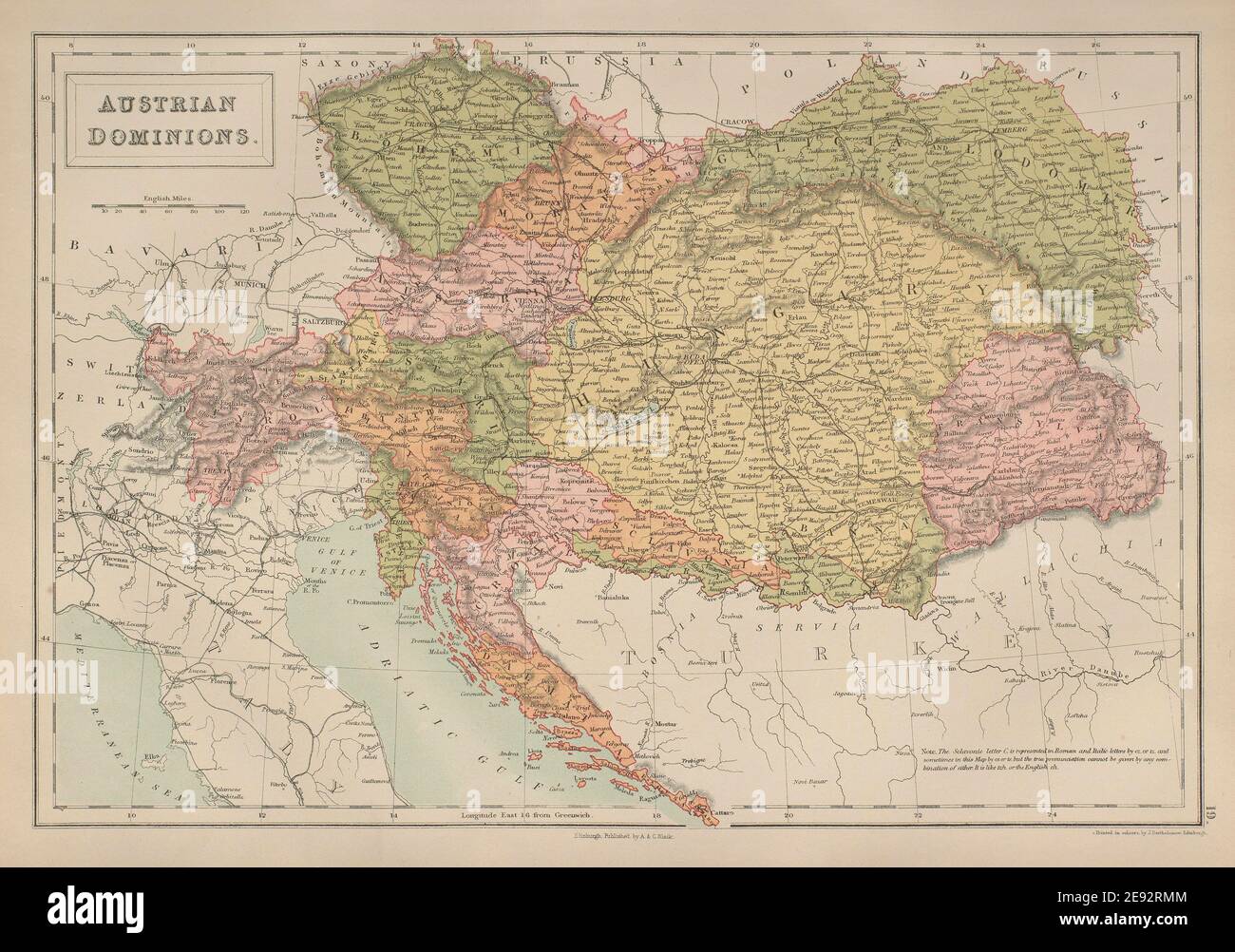
"Austria-Hungary"
DATE MADE: 1892- This antique map is 130 years old. There is an even older copyright date printed on the map: 'Copyright 1891 Rand, McNally, & Co."
LARGE SHEET SIZE is about 22" x 29" including all margins, with centerfold as issued.
CONDITION: Very good condition; no tears; just a very few light marks on the outside margins; map area is clean.
ORIGIN: 1892 Folio Rand McNally & Company's Atlas of the World
___
This is an authentic buying antique map from the date stated. I do not sell modern reproductions.
This map has many more details that you will want to explore. Antique and vintage maps make wonderful personalized gifts, for birthdays, Christmas, weddings, anniversary gift, new home gifts, and going away gifts! This map would also be a great gift for yourself! Antique maps can also be very helpful for genealogy, historical or geographical research.
To view my other antique maps of Austria:
http://etsy.me/1wzscMl
To view my other antique maps of Europe:
http://etsy.me/1z3r9Cw
To view all of my items in my Etsy store:
http://etsy.com/shop/Oldmapsandprints
Inv: 1892 Mikey 110
1892 Large Map of Austria Hungary, Bosnia Croatia, Transylvania Map, Vintage Art Map, Antique Austria Map Original Antique and Vintage Maps Oldmapsandprints Authentic Real Old Maps and Prints
Product code: 1892 Large Map of Austria Hungary, Bosnia Croatia, buying Transylvania Map, Vintage Art Map, Antique Austria Map


